For most of us, the smartphone is now the go-to navigator for everything. As long as the battery, cell signal, and satellite reception hold up, that’s convenient. In an emergency, though, exactly that can fail: the power has been out for hours, the power bank is dead, and there’s no reception in the valley. That’s when something that needs no electricity and never crashes will help you – a paper map and a compass. The good news: you can learn the basics in a single weekend.
Why a map and compass still make sense today
A map doesn’t just show you where you are, but also what’s around you: ridgelines, bodies of water, forest edges, trails, bridges. You see the big picture instead of following a blue dot. In basic training, we deliberately practiced navigation without technology first. If you can “read” the terrain with a map, you’ll also use GPS more wisely later – and you won’t panic if it fails.
The right map
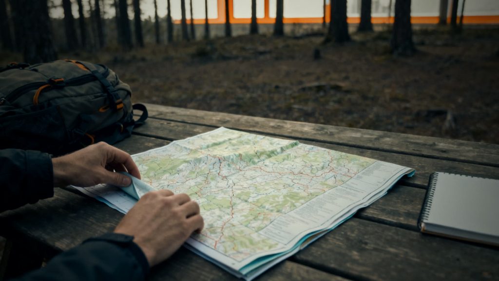
For hiking, a topographic map at a scale of 1:25,000 is ideal. One centimeter on the map equals 250 meters on the ground, so four centimeters equal one kilometer. In Germany, these maps are published by the state survey offices (Landesvermessungsämter), often also as hiking or recreation maps. For longer distances, such as by bike or car, 1:50,000 is enough.
Pay attention to three things:
- Grid: Official maps usually have a UTM grid with kilometer squares. This lets you quickly estimate distances and give your location as coordinates.
- Contour lines: If they’re close together, the terrain is steep. Wide apart means flat.
- Up-to-date edition: Trails and buildings change. A newer edition saves you from surprises.
For your emergency preparedness, it’s worth having a map of your own region – that is, the area around your home, workplace, and possible alternative destinations such as relatives or friends. Protect it from moisture, for example with a map case.
The right compass
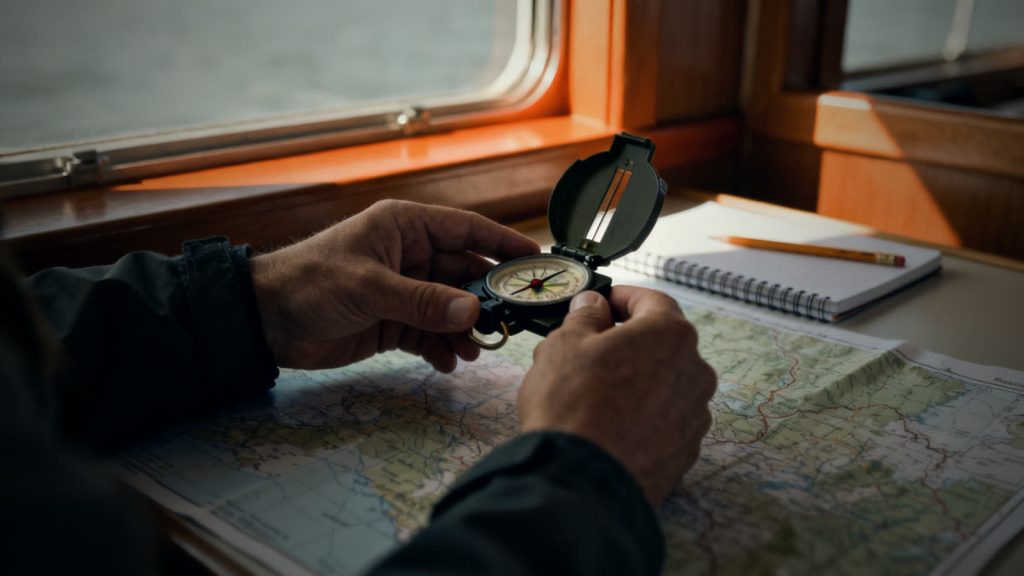
For beginners, a baseplate compass (also called a map compass) is the best choice: a transparent baseplate with a straight edge, scales, and a rotating, liquid-filled capsule. Mirror compasses also have a sighting mirror and allow more precise bearings, but they aren’t strictly necessary.
The Basic Technique in Four Steps
- Orient the map: Place the compass on the map with its straight edge parallel to a vertical grid line. Turn the map and compass together until the needle points north. Now the map matches the terrain in front of you.
- Find your location: Compare prominent landmarks – a church tower, the corner of a forest, a stream, an intersection – with the map. The more features that match, the more certain your location is.
- Determine your bearing: Place the straight edge of the compass along the line from your location to your destination. Turn the housing until its north lines run parallel to the grid lines pointing to map north. At the index line, you can now read your bearing in degrees.
- Hold your direction in the field: Hold the compass level in front of your body and turn until the needle lines up with the north arrow in the housing. The tip of the direction-of-travel arrow now points toward your destination. Pick a prominent landmark in that direction, walk to it, and repeat.
What Is Magnetic Declination?
A compass needle does not point exactly to the geographic North Pole, but to the magnetic pole. The difference is called magnetic declination (also known as variation). In Germany, it is currently a few degrees east and changes slowly from year to year. For short distances in everyday situations, this error is usually negligible, but on longer treks it adds up. You can find the current value for your location with the online calculator from NOAA (the US National Oceanic and Atmospheric Administration); some compasses can be permanently adjusted for it.
Estimating Distances Without Technology
A proven method is pace counting. Over a known distance of 100 meters, measure how many double steps you take – for most adults, this is roughly between 55 and 70. Uphill, in the dark, or on soft ground, the number goes up. A few knots in a cord or beads can help you keep count.
Common Mistakes – and How to Avoid Them
- Metal nearby: Knives, flashlights, smartphones, or car bodies deflect the needle. Keep your distance.
- Housing moved: After setting your bearing, don’t turn the housing anymore.
- Blind trust: Constantly check the map against the terrain. If something doesn’t fit, stop and reassess instead of walking on.
- Never practiced: In a real emergency, you won’t learn anything new. Practice on familiar trails.
How to Practice Effectively
Start in your own neighborhood or a nearby city forest. Plan a short loop using only the map, then one using bearings. Keep your phone in your pocket – turned on, in case you need help. In a real emergency, always call 112 (the European emergency number). A simple exercise for the family: Everyone finds the route to the agreed meeting point on the map and walks it once.
In short: A 1:25,000 topographic map of your region and a baseplate compass belong in every emergency kit. Orient the map, find your location, take a bearing – you don’t need more basics to get started. What matters is that you’ve practiced before you need it.
Recommended Gear Compared
| Produktbild bei AmazonLightweight & for map workSilva Ranger Plattenkompass | Produktbild bei AmazonCompact marching compassGWHOLE Militärkompass | Produktbild bei AmazonRugged with sighting mirrorProster Marschkompass mit Klinometer | |
|---|---|---|---|
| Rating | at least 4.3 out of 5 starswith 500+ customer reviews (our selection criterion)See current reviews* | at least 4.3 out of 5 starswith 500+ customer reviews (our selection criterion)See current reviews* | at least 4.3 out of 5 starswith 500+ customer reviews (our selection criterion)See current reviews* |
| Features |
|
|
|
| Pros |
|
|
|
| Cons |
|
|
|
| View on Amazon* | View on Amazon* | View on Amazon* |
Selected by manufacturer data and customer reviews (at least 4.3 stars with 500+ reviews). We only show exact star ratings when they come from Amazon the same day. As of 04.10.2026. Not tested by us. Current prices and reviews are on Amazon. *Ad · paid link
Conclusion: our product picks
Compasses Compared
Those navigating with a map and looking to save weight should go with the Silva Ranger. For emergency kits and belt carry, the compact GWHOLE Military Compass fits well. Anyone who wants precise sighting and slope measurement should pick the Proster with its clinometer.
Links marked with * are advertising links. As an Amazon Associate I earn from qualifying purchases.
Sources and Further Information
General information, no substitute for individual advice from authorities, emergency services or medical professionals. In an emergency in Europe: 112.